Posts Tagged With: state parks

The gales of October

An early winter storm was predicted to arrive on the north shore late on Thursday, October 26. When I arrived at the Split Rock Lighthouse historic site for a work visit late that morning, the winds were picking up and it was raining off and on.

The view across Lake Superior may appear relatively calm, but whitecaps are forming:

the horizon in the background, water with waves and small whitecaps in the bottom two-thirds

…and starting to crash on the shore:

coastline viewed from above, with a small island in the distance, white lines marking waves reaching shore

I walked down the 171 stairs in the spot of a former tramway to the edge of the lake, where the water was making small splashes on the shore:

Split Rock Lighthouse at the top of the cliff at the top right, mostly woods with a couple thin orange trees, rocky shoreline with wavy water

Watch the Waves at Split Rock Lighthouse video on YouTube

Back up to the lighthouse, and beyond to the northeast side, where sea caves are visible below the lighthouse and create nice, big splashes:

lighthouse viewed from the opposite side at the top of a tall cliff, with a long wave hitting the rockface

Watch the Waves at the Sea Caves video on YouTube

Then I left the historic lighthouse and set off down one of the state park trails. With the light rapidly fading, this is the scene two and a half hours after the first video, farther down the shoreline where perhaps the bigger rocks helped make more dramatic splashes:

the lighthouse farther in the distance, a large flat rocky surface in the foreground, with a curved wave splashing to the left

zoomed-in view of a greenish-blue wave about to hit the shore, lighthouse in the distance

a wave just breaking, a large splash in the middle and extending downward toward the right, with several waves lining up down the shoreline in front of the lighthouse

closeup view to the east with a large wave hitting at the left, another one coming in at the right

Watch the Bigger Waves at Split Rock Lighthouse video on YouTube

I wanted to stay longer and watch as the waves got even bigger, but I needed to head back to the Twin Cities. It was getting too dark to take many more pictures, anyway. I made it out of town before the storm really hit — and caused a lot of damage in Duluth.

first of three images of the same wave, this one breaking with a large splash

second image of the wave, the tallest part now on the right

third image of the wave, mostly dispersed but with many individual droplets hanging in the air

More about this storm

Advertisement
Categories: Lake County | Tags: | 1 Comment

Maplewood State Park

On our way out of Pelican Rapids on Sunday, we saw a sign that said Maplewood State Park was only six miles away. Even though the weather was gloomy and at times rainy and at times blustery, we jumped at the chance to see this park during its peak season.

cattails in the foreground, lots of orange trees around the edge

I loved seeing all the signs marking restored prairies planted in 2011, 2009, 2002, and 1999.

dark brown sign: Prairie Planted 2002, with colorful trees in the background

Our original plan was to simply take drive through the park on Park Drive. But when we saw the sign for the Hallaway Hill overlook, we parked the car and headed up the former ski hill. It’s only a 196-foot vertical climb, but the last part especially gets the blood pumping.

steep dirt path through bright red sumacs

At the top we learned that this park has a wealth of geological features: lakes, an island, kames, kettles, moraines, eskers, and even goat prairies (areas on the hillside that were thought to be too steep for anything but goats). Nice views of the woods and Lake Lida, even on a cloudy day.

two leafless trees in the foreground overlooking a line of sumacs at the edge of the hill, with a lake and island in the background

After descending, we walked out to the swimming beach, where there were actual (small) whitecaps

a picnic table on the sand, rough Lake Lida, and a colorful islet

and then got back in the car for the driving tour.

a paved road with trees lining both sides, mostly green, some yellow

We pulled over for this big tree.

large maple tree with wide-reaching branches with orange leaves

And pulled over again at this overlook on Field Lake.

prairie in the foreground, a lake with a couple trees on the close side, and lots of colorful trees on the far side

And then, just as we were thinking about wrapping up our visit, the clouds started to thin and the sun came out, just before sunset.

sun setting with grasses in the foreground, dramatic purple and blue clouds

And it set the trees on fire. See the difference one second made?

prairie grasses in the front, a straight row of trees, half green and half orange or yellow

same scene with sun shining on the trees

We walked back down the one-way road to the overlook to see the change:

Field Lake from a different angle, zoomed in, with sun lighting all the trees

For fall color, this is a good weekend to visit Maplewood State Park.

More information about Maplewood State Park

Full disclosure: Some of these photos were taken by my husband, since we were trading cameras during this trip.

Categories: Otter Tail County | Tags: | Leave a comment

I didn’t walk 125 miles

A year ago, I was excited about the Minnesota State Parks’ 125th anniversary challenge: to walk, bike, and/or boat 125 miles. I even thought that I’d walk 125 miles and bike an additional 125 miles.

But then life got busy. So I didn’t get all the way to 125, but I did get a little more than halfway there, including visiting several new-to-me state parks and trails. Here’s what happened:

Started out strong on April 3 at Afton State Park (4.1 miles hiking). Beautiful early spring day – in the 60s. Lots of people, still some snow at next-door Afton Alps, very little green.

dirt trail through bare deciduous trees with a couple scattered pines

the high point of the park, a brown grassy area with pines in the distance

April 10: Nerstrand Big Woods (4.5 very wet and muddy miles hiking). This was a hike with my friend Sara, and I think it was unfortunately too early in the season to be at this park. Even one week later would have been a lot drier. We saw the waterfall, then hiked back west and did the south loop – first time for me on that path, though I’ve been to this park several times.

path through bare trees, all mud with wet footprints

grassy, waterlogged path through bare trees

April 17: Sakatah Singing Hills State Trail (13 miles biking). Wildflower-lined path from Morristown to Waterville and back, with the sun coming into and out of the clouds the entire time…

at the side of a paved path through the woods, at cement mile marker post 30

up-close view of Dutchman's breeches wildflowers

sunlit paved path with farmland on the left and sumacs on the right

…with a stopover at Sakatah Lake State Park halfway through to get our state park passport stamped.

mostly-cloudy at the lake, with five ducks swimming away

May 14: Rice Lake State Park (2.6 miles hiking). The pictures make it look sunny and pleasant, but that’s deceptive because it was quite chilly – 42 degrees.

bur oak forest:

trail through the woods in full sun, lots of green leaves on trees and small plants

oak savanna:

foreground all bright-green grass, green trees in the background, mostly sunny blue sky

lake:

small sliver of lake in the distance, lots of brown cattails before that, tree branches framing the photo

May 29: Lake Bemidji (4.1 miles hiking along the lake, through the forest, and on the bog loop).

sign for the Bog Trail at the right, the unpaved path in the middle, with people walking away in the distance

lake on the left, beach on the right, cloudy and windy

July 10: Biked the Douglas State Trail on the former Chicago Great Western Railway route between Pine Island and Douglas. Much of the trip was through a deciduous forest. It was a nice, sunny afternoon, which was fine in the shade, but in the countryside portion, it was pretty hot. (15 miles biking)

paved path through thick deciduous forest

cornfield on a partly cloudy day, with blooming milkweed and other wildflowers in the foreground

July 24: Drove through Itasca State Park two days after a huge storm (no hiking/biking, though).

view from the passenger seat on the road through a pine forest, with broken trees on both sides

September 5: Tried to bike the Gateway State Trail but accidentally ended up on the Brown’s Creek State Trail instead. The easy part was biking downhill into Stillwater, but then we had to bike uphill all the way back – and it was really humid. We spotted Minnesota’s oldest surviving stone arch bridge along the way. (12 miles biking)

the creek partly visible at the left with lots of grass and wildflowers on both sides, and a bridge at the right

an overlook showing a stone arch bridge, mostly obscured by vegetation

September 11: Actually made it to the Gateway State Trail and biked east all the way to the end of the paved portion. (8 miles biking).

paved path through the woods, with an unpaved horse path at the left, on a sunny day

paved path with forest on the left, a field and wildflowers on the right, bright blue sky

the trail intersects the highway, and though the trail continues on the other side, it's unpaved

November 13: Lake Maria State Park (5 miles hiking) on a solo walk after a stressful week of national politics. Nice reminder that the world is beautiful, and spring will come again someday.

dark blue, wavy Little Lake Mary

path through the woods, with most of the leaves on the ground

Even with the late push with longer bike trips in the fall, I only made it to 68.3 miles. Rockstar Sara of the Nerstrand adventure, though, completed all 125 miles, and all on foot! I’m looking forward to seeing new parks and trails in 2017, even without a mileage challenge to push me.

Categories: Beltrami County, Le Sueur County, Rice County, Steele County, Washington County | Tags: | Leave a comment

Lake Bemidji’s boardwalk through the bog

When we were “up north” for Memorial Day, a bog-walking program complete with a “roving naturalist” and a pancake breakfast at the dining hall enticed us to spend a Sunday at Lake Bemidji State Park. We had been to this park once before, five years ago, but I had forgotten how neat it is.

boardwalk zigzagging back and forth

A bog is a fragile ecosystem, and this sign warns people to stay on the boardwalk to not hurt the plants.

If you feel the urge to leave the beaten path, this is not the place to do it.

The boardwalk is only a quarter-mile long, but it seems much longer – probably because there is so much to see along the way that it’s a pretty slow journey. There are helpful signs along the way:

What is a bog? sign with several paragraphs, maps, and definitions of different types of wetlands

Many plants thrive in this bog environment:

At the end of the boardwalk is Big Bog Lake. We even saw a loon! (But it’s not that dot in this photo.)

a lake obscured with a few pine trees, with many more on the opposite side

The rest of the park was nice, too – on paved paths…

green hardwood trees lining a narrow paved path

…and on unpaved paths.

grassy trail through green trees

Hey! A Minnesota state park with signs that identify where you are! (See the “N” at the top, which corresponds to a spot on the map.) This works much better than an unlabeled sign with a sticker marking the spot on the map – I’ve seen so many of those that have had their stickers removed. Now, if they would add signs along the trail crossings that confirm which direction you’re heading, like Lebanon Hills does, it would be practically perfect.

directional sign at the edge of a path

Lots of interpretative signs in this part of the park, too, though they could use an upgrade. Did you know that earthworms are an invasive species that is hurting our hardwood forests? Counterintuitive, isn’t it? But true. Don’t dump your leftover bait, anywhere!

We have always been told that earthworms are good for nature, but ecologists now say they don't even belong in MN.

Such a great touch: the wildflower signs include both English and Ojibwe names.

small orange flowers with a sign reading Hoary Puccoon and ojiibik-omaman

I don’t often see starflowers in our neck of the woods:

white flower with seven petals

We admired the Works Progress Administration buildings, like the dining hall…

brown log building with a ramp up to the door

…where we were served pancakes and sausages and teeny glasses of orange juice.

recyclable plate with plastic silverware, two sausages, and two pancakes

We also saw Lake Bemidji, naturally:

lake with a sandy beach on a cloudy day

And signs along the entrance road ask motorists to be careful because baby foxes are in the area:

Slow!!! Kits at play! and a drawing of a fox

After this fun visit, I added this park to my top five favorites of all the Minnesota state parks I’ve seen so far.

More

Date visited: May 29, 2016

Categories: Beltrami County | Tags: | Leave a comment

I would walk 125 miles, and I would bike 125 more

This year is the 125th anniversary of the Minnesota State Parks and Trails system, and they’re challenging Minnesotans to record 125 miles by hiking, biking, or boating. We are already participating in the state parks’ passport program (29 parks visited so far); why not add another goal or two?

It’s already April, so we decided it was time to get started and we headed to Afton, one of our nearest state parks, for our own kickoff. I admit that this has never been my favorite of the state parks, though we had been there many times in the three other seasons:

along the river's edge on a cloudy day
early summer three-hour hike – in the rain
the sun setting behind trees, with many sun rays streaking through clouds
late summer stargazing event, staying after the typical closing time to watch the sun go down and the stars come out
colorful trees in the distance, light brown grasses waving in the foreground
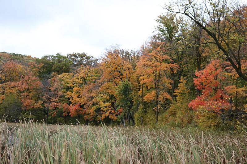
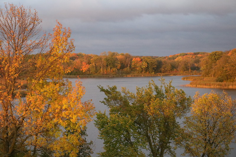
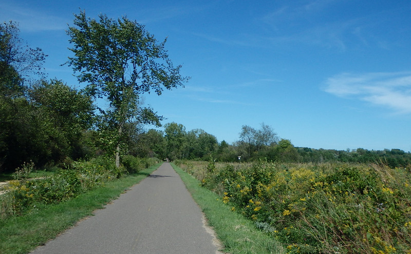
October hike through the autumn grasses with pretty trees in the background
red sumac berries in front of a blurred background of snow and brush
chilly hike on New Year’s Eve


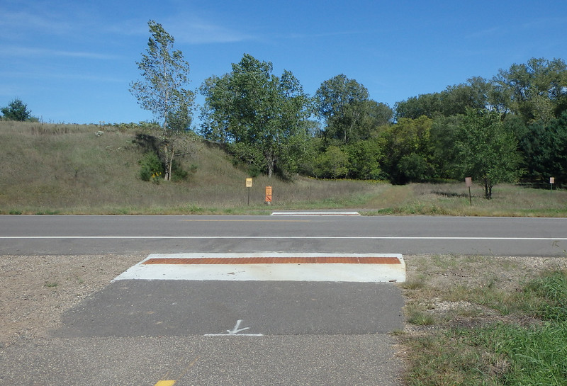
I think I’m less-than-enthusiastic about Afton because we always seem to lose our way in the southeast corner, where the camper cabin driveway intersects the trail and it’s not clear where the hike should pick up again. I get frustrated and let that sour the rest of my experience.

Here’s an example: the map and the arrow show that the trail goes to the left, but a path clearly keeps going straight ahead. What trail is that?

signpost with a map at the top and a small arrow pointing left

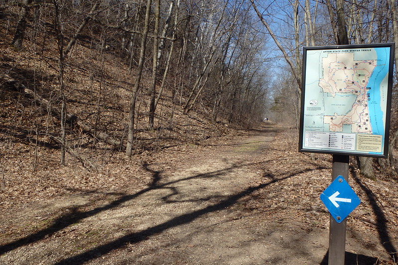
This is not the only state park where I wish for better signs – Sibley also comes to mind. (Lebanon Hills Regional Park in Eagan sets the gold standard for trail markers, as far as I’m concerned.)

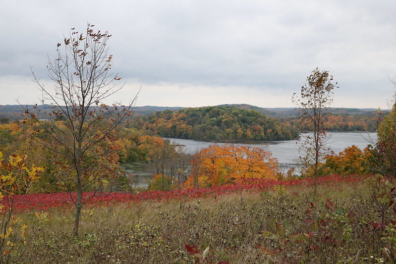
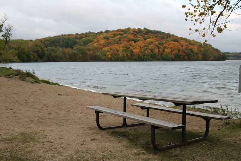
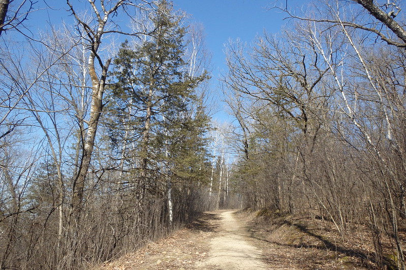
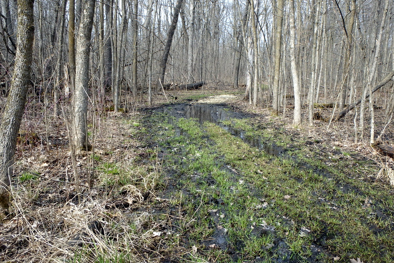
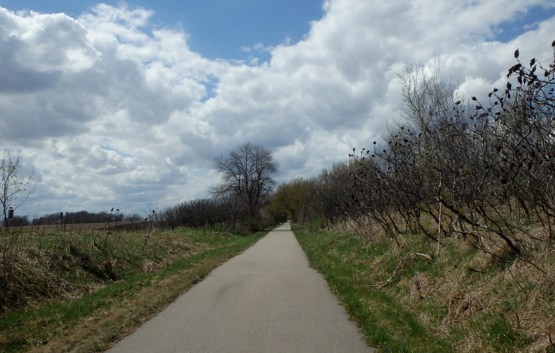
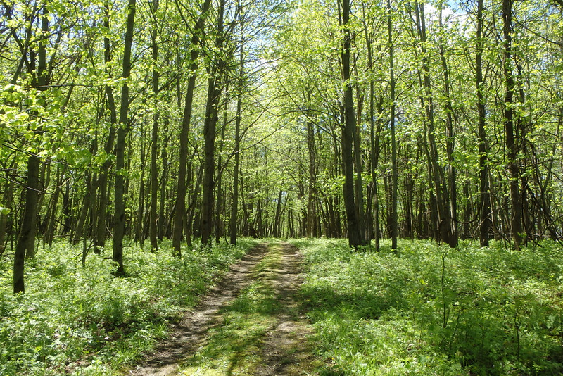
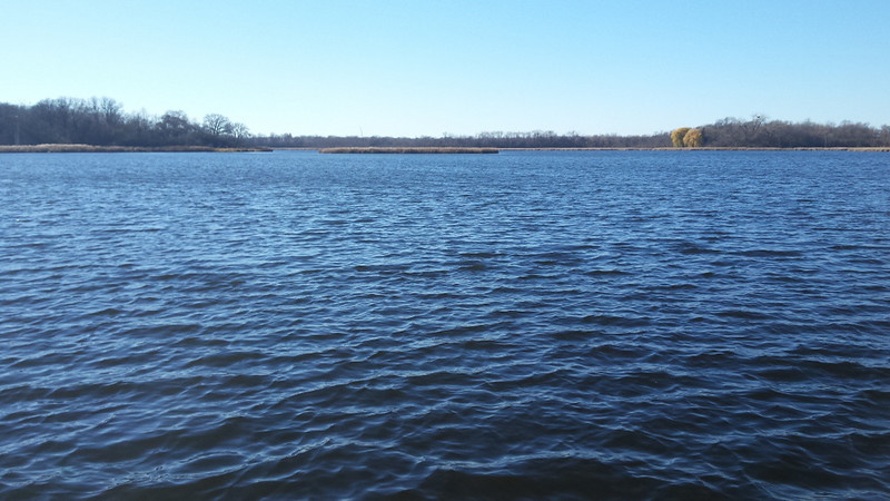
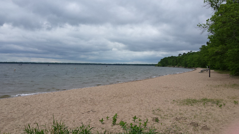
But we picked a trail that we hadn’t been on before – heading north along the St. Croix River, then west up the hill and back down to the parking lot.

The parking lots were full with hundreds of visitors who also decided to take advantage of the first really nice spring day.

wispy clouds in a bright blue sky, with a short foreground of grasses and trees in the distance

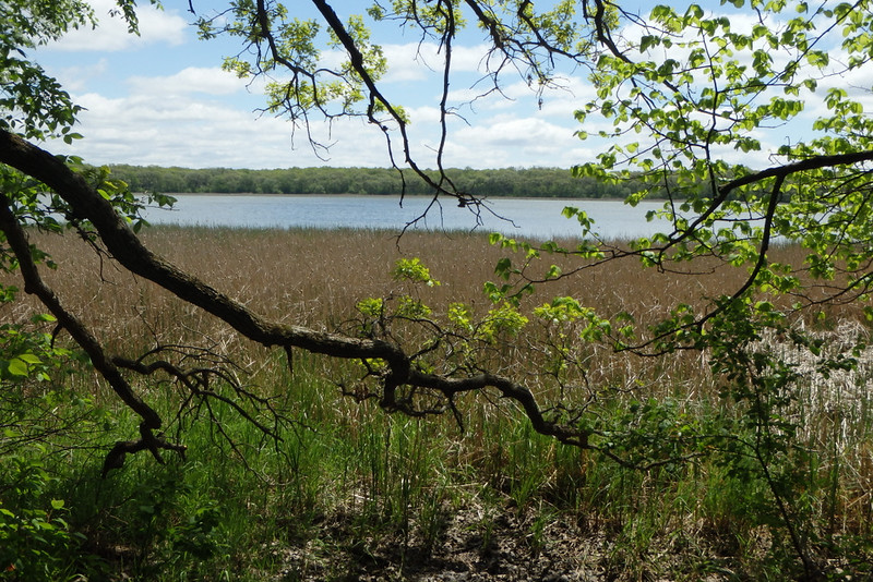
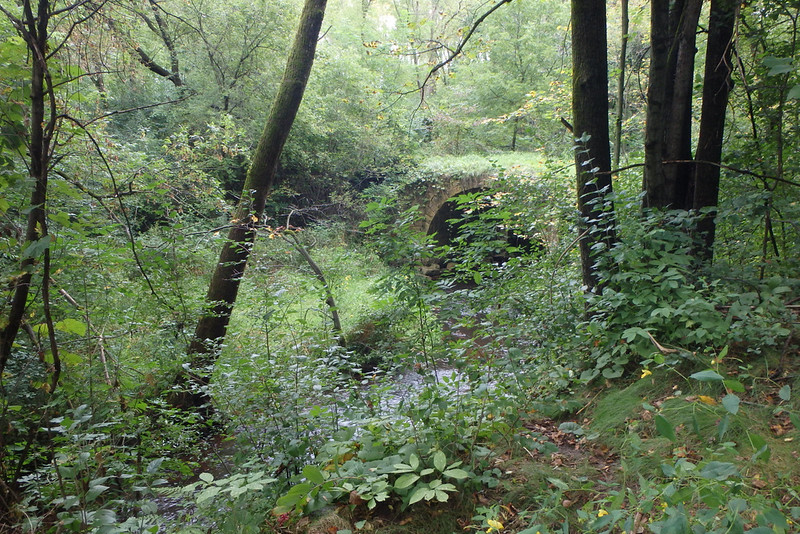
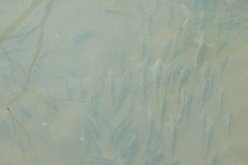
We took a “longcut” on a less-visited trail down through the woods, spying on a school of fish:

looking down into a murky stream with dozens of small fish

Then we rejoined the main trail and started up the first of three steep climbs.

a leaf-covered path at the left, a sign showing a steep incline and another sign forbidding horses

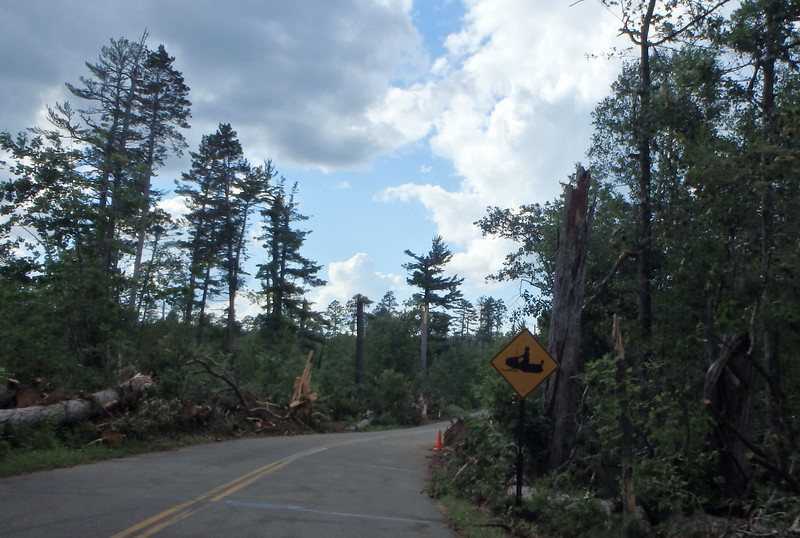
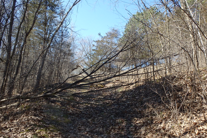
Two fallen trees along one of the paths:

a leafy, mossy path with two medium trees that have fallen from the left

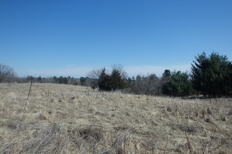
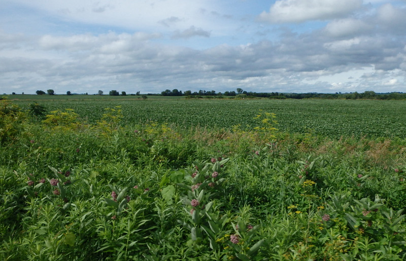
The highest spot of our trip, a pasture at the top of a hill, where prairie restoration is in progress:

bright blue sky at the top half, light brown grasses at the bottom half, scattered leafless and pine trees at the intersection of land and sky

Leftover windmill and equipment from a long-ago farm:

the top of a windmill lying flat on the ground, with a plow in the background, both in a grassy lawn and marked off by boards on the ground

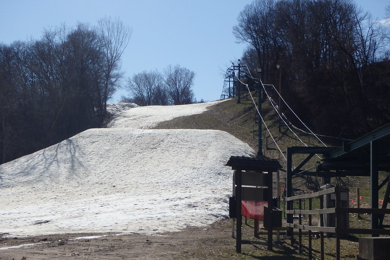
One of the trails took us right next to the bottom of a ski hill of nearby Afton Alps, which is still snowy but not ski-able:

empty chairlift ascending at the right, a big snow-covered bump at the left, with grass and more snow behind it

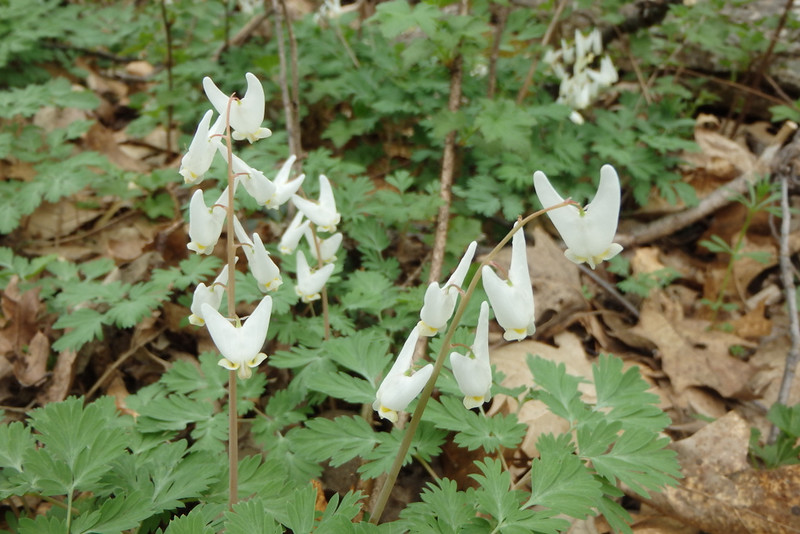
We even saw a butterfly! I worried about this days later, when the temperatures fell and it snowed again.

orange-and-brown comma butterfly on brown leaves at the edge of a dirt-and-rock path

And I must say that my perception of Afton is much improved after this lovely visit.

bright blue sky, light brown grasses, and four bare oak trees taking up most of the frame

This park gave us our first 4.1 miles toward 125 miles. We will try to get 125 miles by bike, too. And it would be fun to add some new stamps to our parks passport along the way. On my wish list: Lac qui Parle, Moose Lake, Glacial Lakes, Maplewood, Great River Bluffs, and Old Mill.

More

Date visited: April 3, 2016

Categories: Washington County | Tags: | Leave a comment

Create a free website or blog at WordPress.com.